USEA will make ocean mapping sustainable
Ellen Svestad.
Published at: useaoceandata.com
Date: 21.01.22
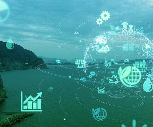
The ocean is a vital resource for humanity, and it plays a defining role in the future to solve the twin crisis of biodiversity and climate change. That's why we need to operate in vulnerable ecosystems in a responsible and considerate manner. To do so we need information. Ocean data provides crucial information for the future ocean industry.
Great risks
Today’s traditional underwater surveys are time consuming and requireplenty of resources. Inspections of the seabed entail great risks for offshore crews andchanging and challenging weather conditions halt operations for days until it's safe to venture out again. “The current vessels used for the process produce substantial emissions, and the need for refuelling and data transfer shorten the time of each mapping excursion”, says Ellen Svestad, CCO at USEA Ocean Data.
Ocean industry
Industrial operations and offshore installations have long been a reality with wind power and subsea cables installed and inspected. Harnessing offshore renewable energy is crucial to meet the energy needs of the future, so ocean bed activity will multiply in the next few years. In addition, there is a vast emergence of low-carbon blue food and nature-based solutions that needs to be explored.
Only 19% of the seafloor is mapped so far according to the Nippon Foundation-GEBCO Seabed 2030 Project. The aim is to ensure that 100% of the seabed floor is mapped by 2030. Hence the need for a complete blue world map is imminent, and our contribution is developing a new way of obtaining this detailed geological information. We seek strategic partnerships in suitable organizations to reach our safe ocean goals.
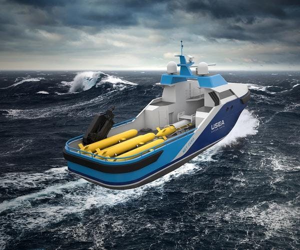
Unique technology
USEA Ocean Data enables underwater surveys to be carried out in an efficient and environmentally friendly way, which ensures sustainable operations.
Our concept makes it possible to utilize autonomous underwater vehicles operated from unmanned vessels. The benefits of this method are the delivery of ocean data in a much more time efficient manner, therefore also less costly, and with less risks for personnel. Our method ensures over 90% less emissions, aiming for net-zero emissions when hydrogen and ammonia technology have developed further. The larger the survey areas, the more cost savings achieved. Our deliverables are ocean data to industries such as offshore wind, deep sea mining, defence, underwater cables, oceanography, hydrography, aquaculture, archaeology, research and if needed: search and rescue.
Services
We can offer our clients high-resolution geophysical and environmental site surveys, pipeline route surveys, pipeline inspections and light intervention with the use of highly equipped autonomous underwater vehicles. In addition, we will offer hydrographic surveys in both large and smaller scales, providing seabed-mapping services around the world. “In USEA Ocean Data, we believe that the quality of our services, innovation and technology is only made possible by our greatest resource: competent and experienced people & teams”, Svestad continues.
A bright, blue future
In the past couple of years politicians and top leaders of both large and smaller maritime nations and organizations have been working together to develop a sustainable blue economy. USEA Ocean Data wants to contribute and be part of this future. Currently we are on the brink of becoming commercial, and we have the great opportunity to make strategic decisions for our business direction aligned with a sustainable blue economy. Data is our product, and we would like to share our insight.